Public service mapping
March 28, 2026
I’ve been trying to perform semi-regular public service. Lately, that’s been taking the form of updating/fixing the open-source maps on OpenStreetMap (OSM) – they are the underlying source of many of the maps you find on the internet, including the ones used by my motorcycle navigation system. I keep finding that the nav system’s routing algorithm tries to take me through closed, private gates, and tracked the issue down to missing features in OSM. Unlike, say, Google Maps, you don’t have to wait for someone to fix a problem in OSM, you can immediately go do it yourself! Thus, I’ve been making little fixes as I notice a missing gate, or another feature that is incorrect or missing, in the hopes that these changes will propagate into all the various products and tools that make use of OSM.
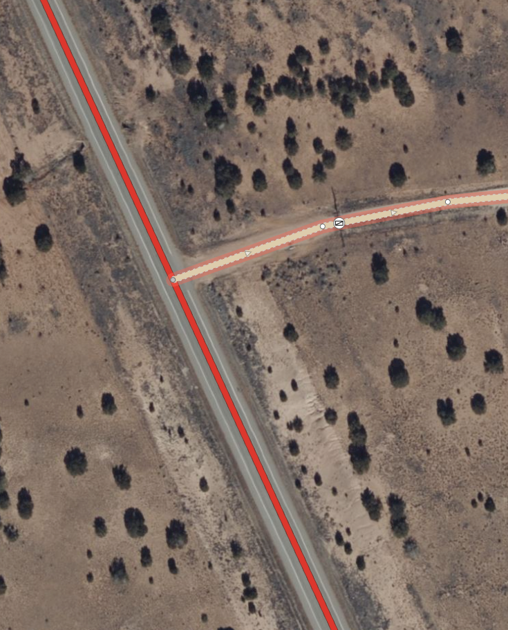
In this example, the gate on Camino del Obispo was missing, and the access type for the road was wrong (it should be private). Both of these errors can cause a routing algorithm to send you down this road, and it’s a long way around to the next real route. Fixed it!